Utterwick Museum
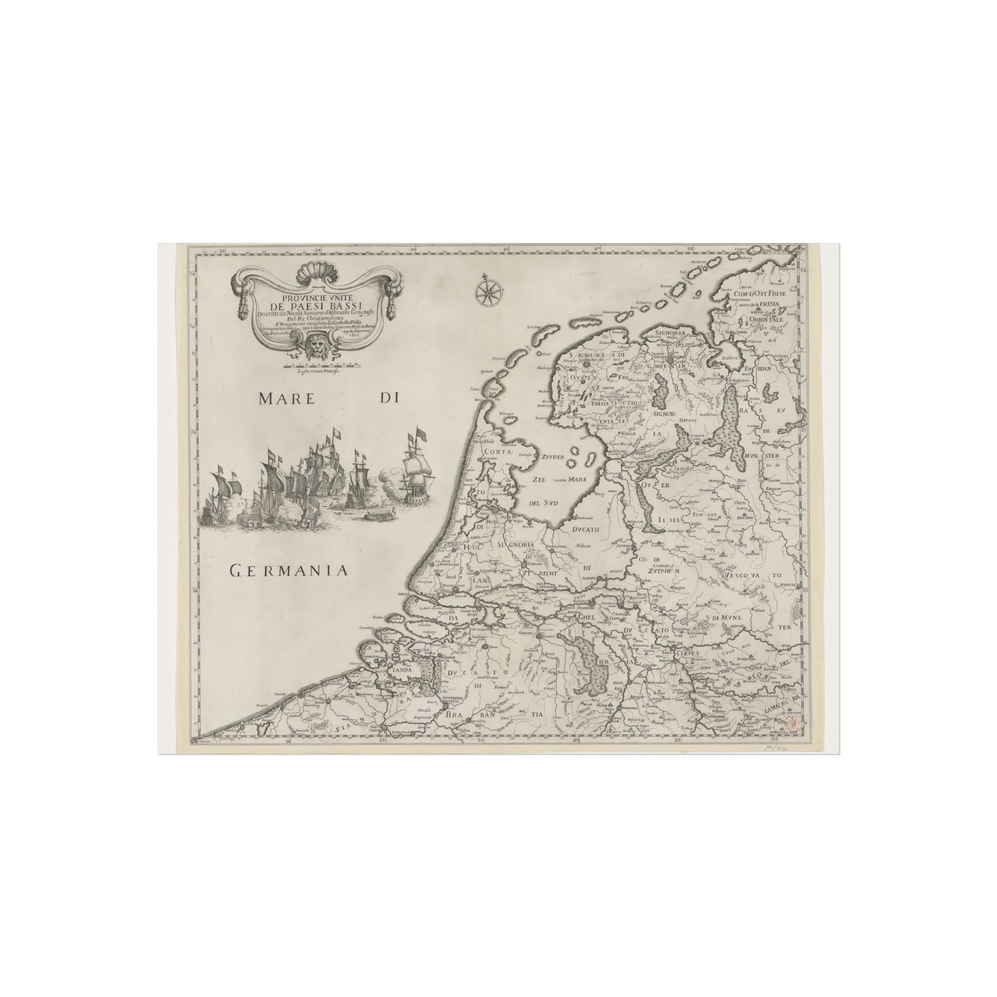
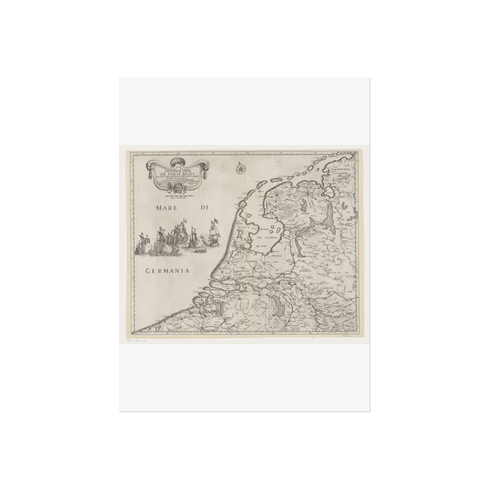
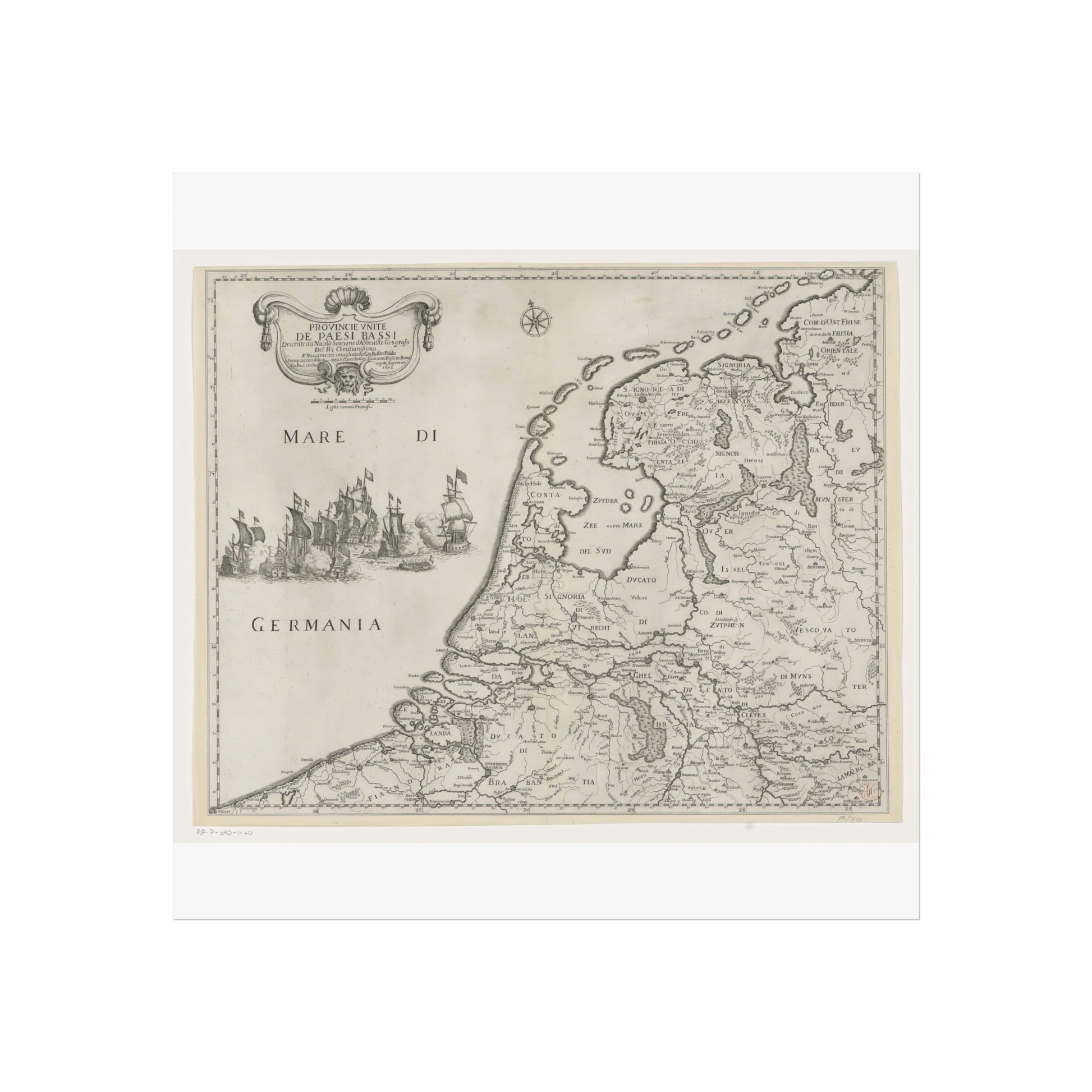
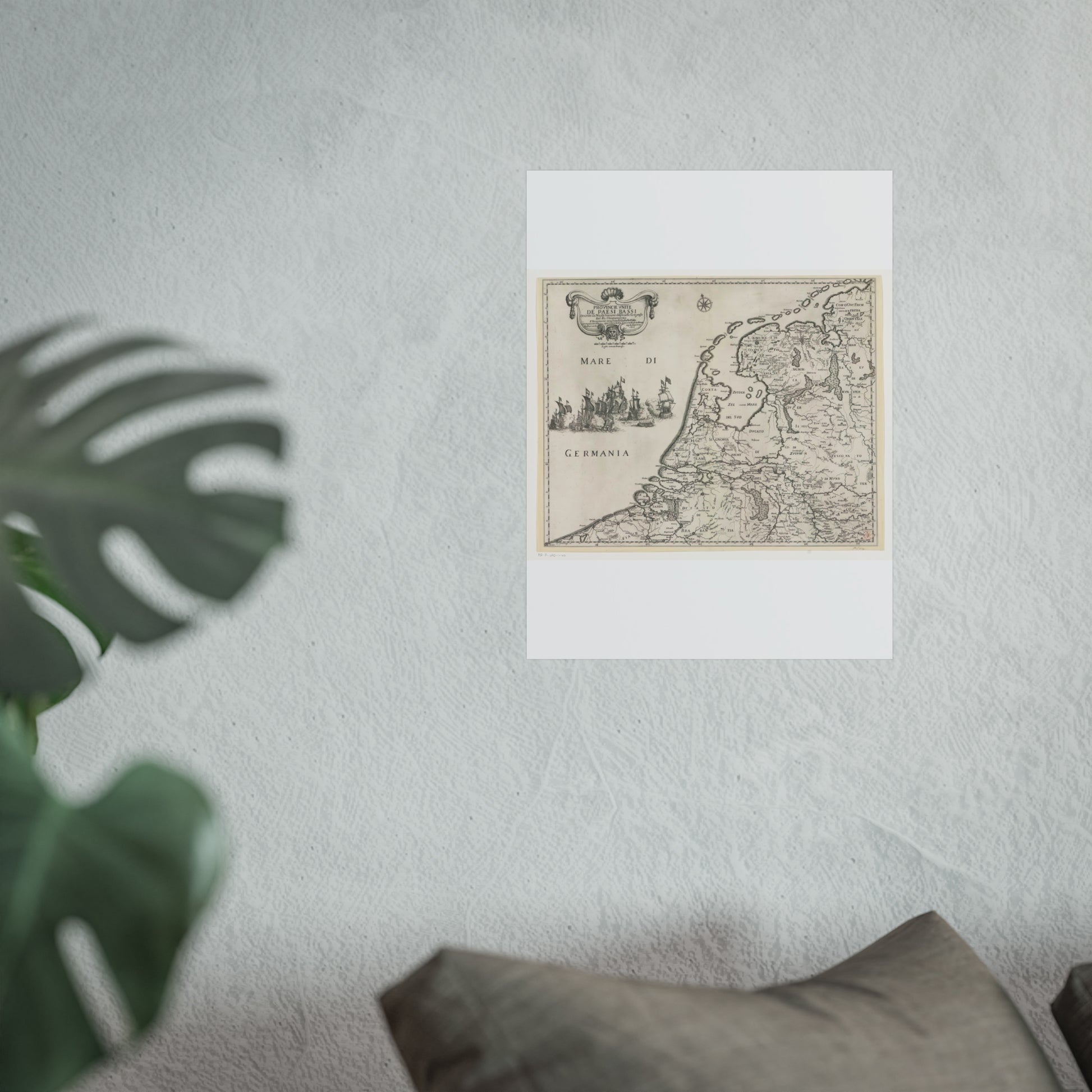
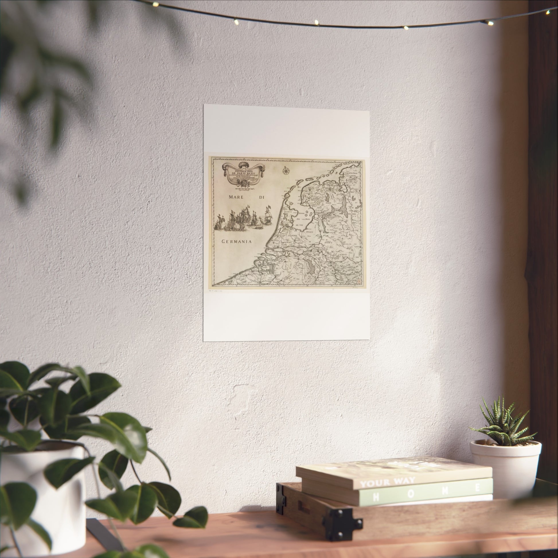
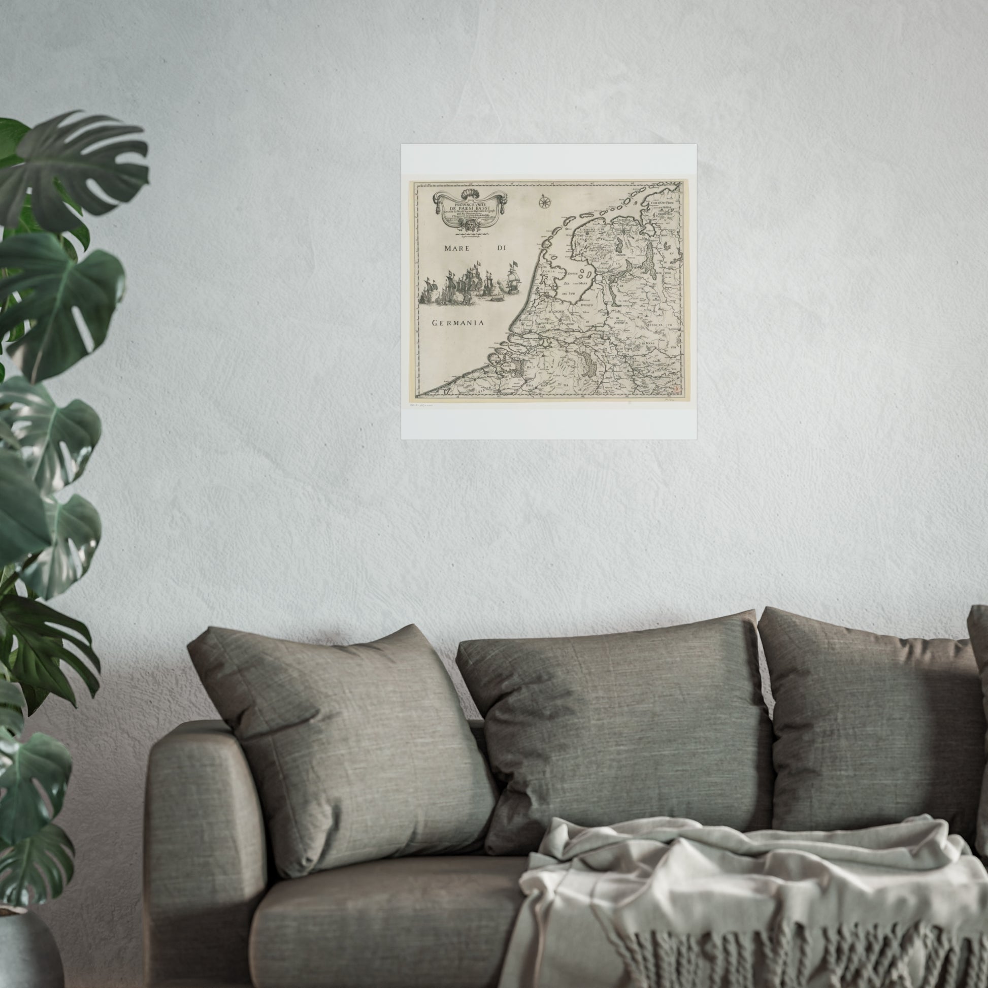
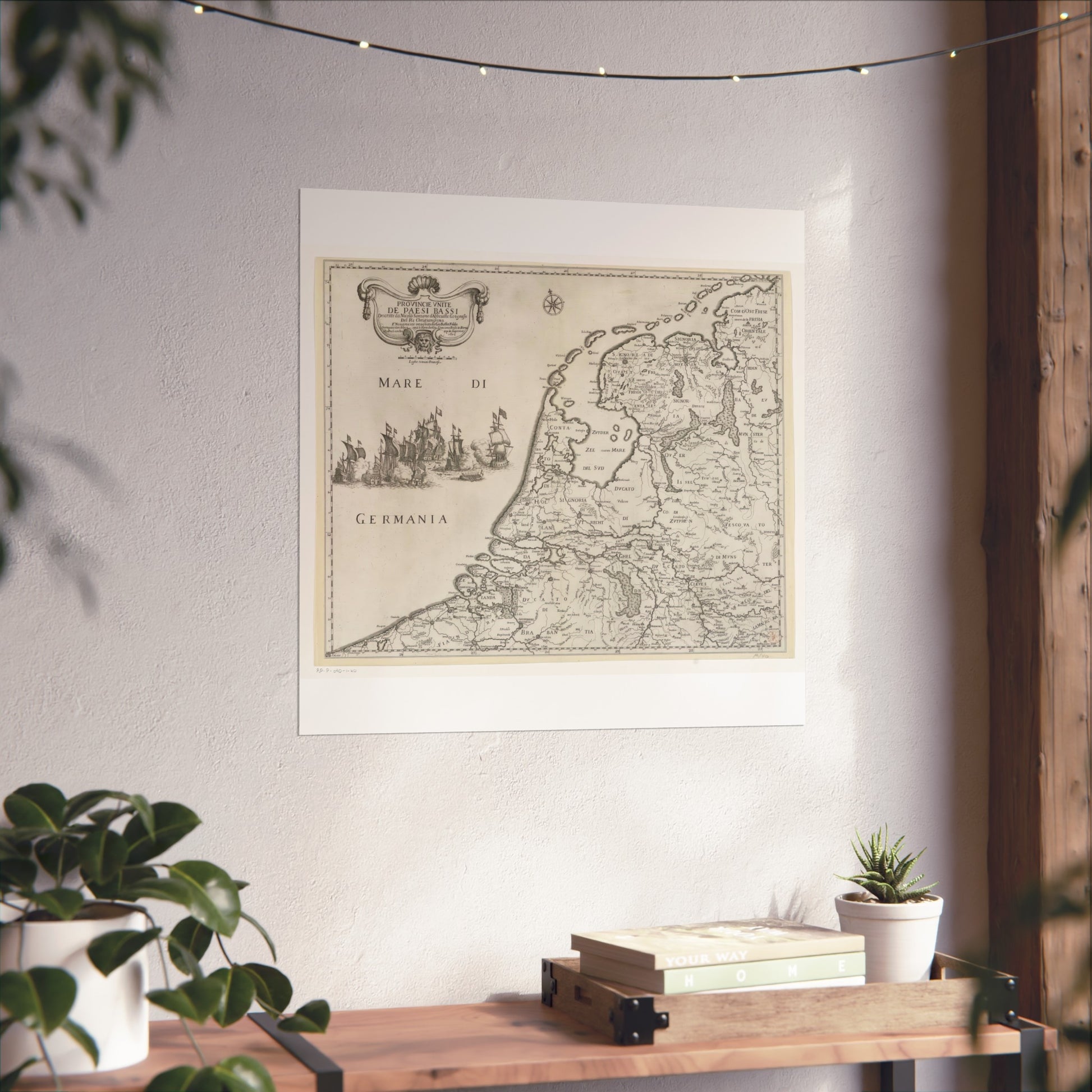
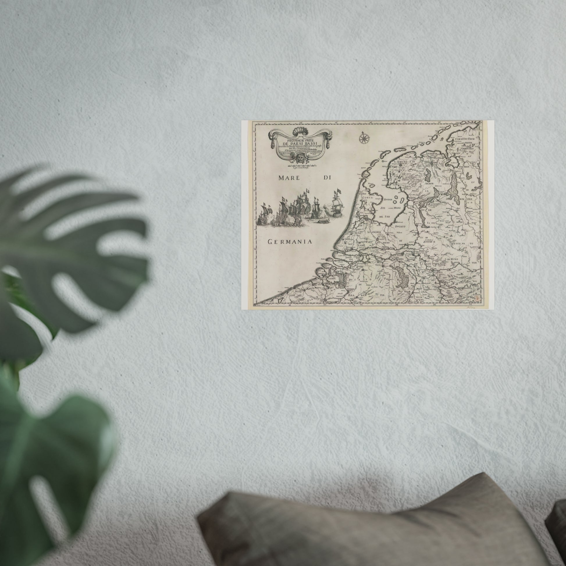
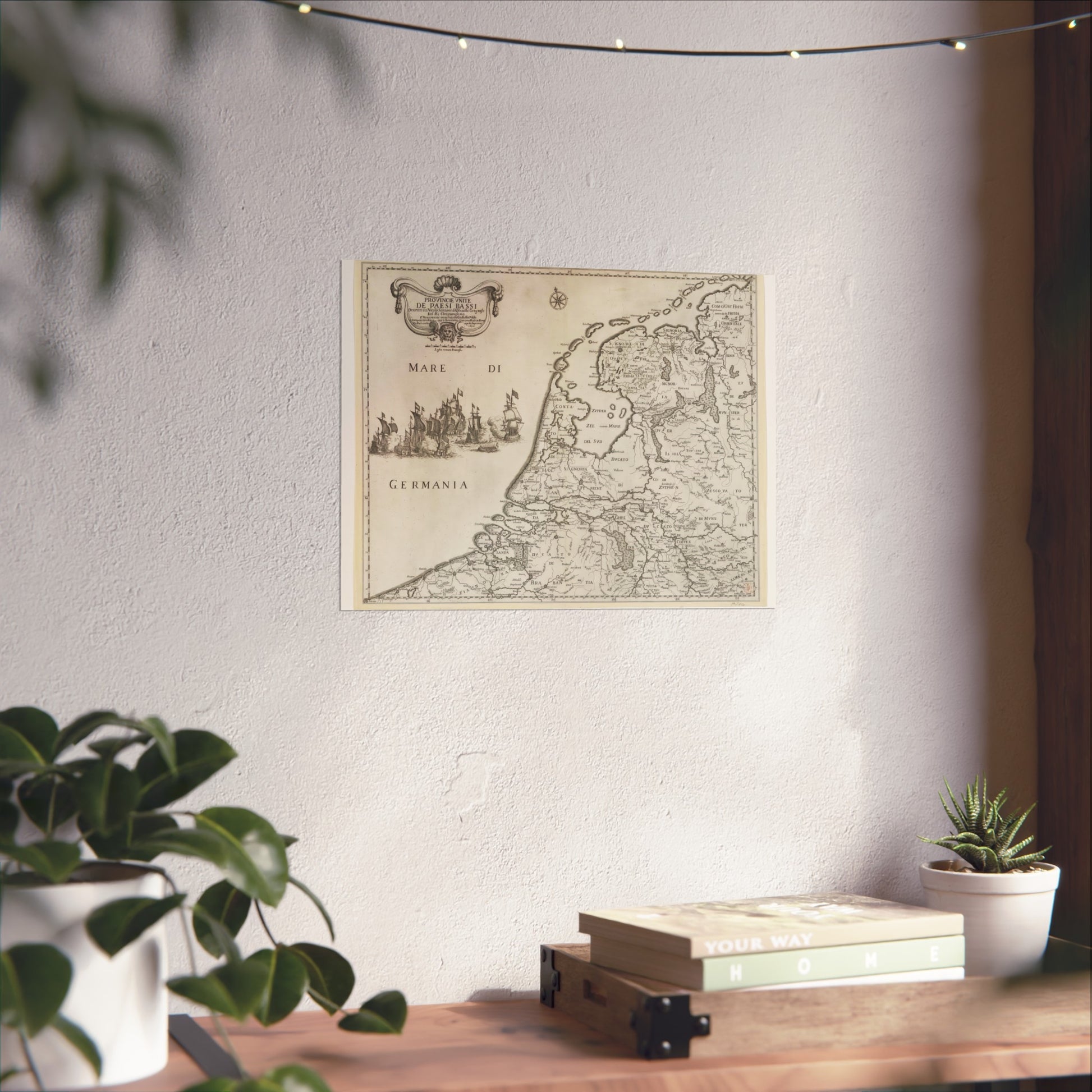
Map of the Republic of the Seven United Netherlands
Map of the Republic of the Seven United Netherlands
Couldn't load pickup availability
Share
About this piece
This Italian map of the Republic of the Seven United Netherlands is a captivating historical artifact. In the top left, a decorative cartouche proudly displays the title. Below this, the scale bar marked 'Leghe comini Francese' adds to its authenticity. The edges are adorned with a degree grid, enhancing its navigational precision.
Artist: Giovanni Battista Falda
Title: Map of the Republic of the Seven United Netherlands
Date: 1672
Related tags: giovanni battista falda, historical map, 17th century, cartography, republic of the seven united netherlands, decorative cartouche
Dimensions: 2500 x 1989 (Nearest commonly-used ratio: 5:4)
Image file name: kaart_van_de_republiek_der_zeven_verenigde_nederlanden_b2d717fc.jpeg
Image file size: 5343885
Time image uploaded: 2024-07-05T11:30:29.000Z
License: CC0 (Creative Commons 0)
Source: Rijksmuseum, Amsterdam


